City Rendering
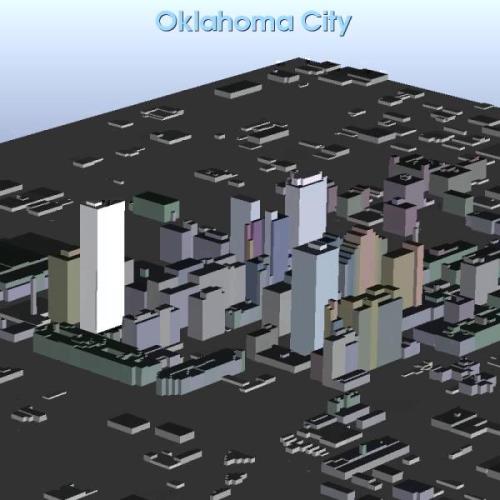
VisIt read in an ESRI shapefile containing a polygonal description of the building footprints and then resampled the polygons onto a rectilinear grid, which was extruded into the featured cityscape.
Previous Post in EXAMPLES Back to EXAMPLES Next Post in EXAMPLES