GIS Visualization
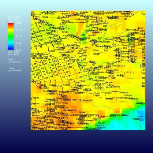
VisIt can read several file formats common in the field of Geographic Information Systems (GIS), allowing you to incorporate raster and vector data from multiple sources in a single visualization. The featured image shows a top view (zoomed in) of Livermore, CA, with roads superimposed and labeled on top of colors corresponding to elevation.
Previous Post in EXAMPLES Back to EXAMPLES Next Post in EXAMPLES